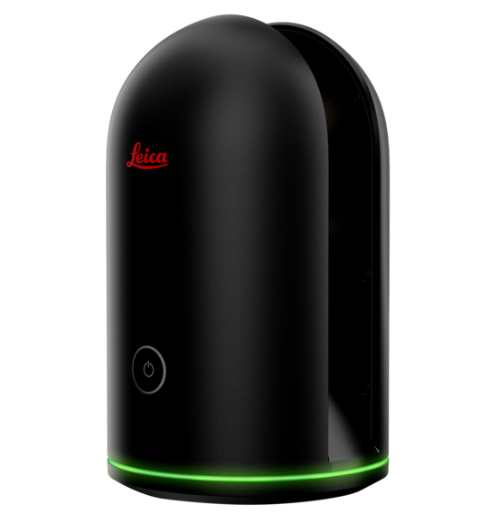

We provide 3D laser scanning for Architecture, Engineering, and Construction applications. Scans are conducted using a LIDAR scanner capable of millimeter accuracy and detail. Nothing compares to 3D scan to accurately capture as-built measurements of a large building. Every scan measures over half a million points which have a precise XYZ coordinate. Combined, these points comprise a three dimensional “point cloud” that can be navigated, measured, drafted, and modeled in popular CAD and BIM applications. Applied to architecture, a point cloud is a dimensionally-correct, digital copy of the building itself.
Once scanned the resulting point cloud data is then used to to develop accurate as-built BIM models and CAD drawings in Revit or Autocad of the building.
If you know how to work with laser scanned “point clouds” and just need the scans, we can provide that as an independant service. The delivered point cloud data can be in a variety of popular industry formats including Autodesk RCP, E57, LAS, PTS, and more as well as the panoramic images of the site.
3D Scan Benefits
- Dimensional verification of existing conditions.
- “Point-in-time” digital archive for future reference and comparison against prior conditions.
- Obtain a 3D panoramic view of a building or site with fewer site visits required by personnel and technicians.
- Clash detection of working model vs. actual site conditions.
- Detailed precision imaging for fabricators and installers.
- Import directly into Revit, Autocad, 3DS, Civil3D, Navisworks, Archicad, Microstation, Rhino, Solidworks and more.
- Free, standalone point cloud viewing using freeTrueview software.
3D scanning helps facility managers and project architects and engineers save time by providing accurate building details for space planning, renovations and additions. 3D scanning aides in planning construction projects by providing general contractors and architects as-built documentation of the spaces under construction. Nothing can compare to a true reality capture of a building to millimetre accuracy, simplifying planning and design and reducing change orders because you started with an accurate representation of the existing conditions.
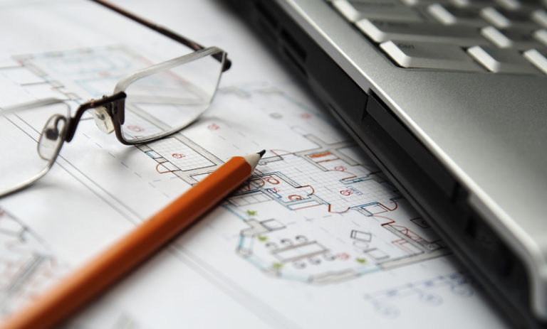
FLOOR PLANS, SECTIONS AND ELEVATION VIEWS
From a 3D laser scanned building, 3D or 2D drawings can be created in different ways:
- Autocad or Revit BIM models
- Created directly from scanned point cloud data
- Sectional building slices of the scans for direct visualization of various building portions
We draw over the point cloud data to develop standard 2D DWG line drawings, or alternatively a 3D building model using Revit.